Province(s)
Status
Surface
Landscape
Shaped by wind, water, and humans
In the north of Limburg, amidst several picturesque villages, lies the longest river dune belt in the Netherlands. Water, wind, and humans contributed to the formation of this belt. The rivers shaped the landscape, but the wind largely completed it. Since prehistoric times, humans have also influenced the area. You can best experience the variety in nature and tranquility in National Park De Maasduinen on foot or by bike.
Landscape, nature, and culture
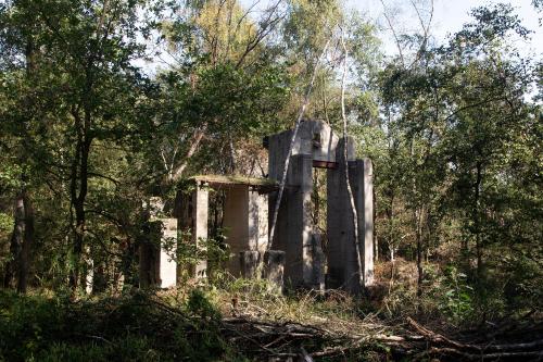
Walking through four different types of landscapes with rare nature in one hike—it's possible in National Park De Maasduinen. Along the way, you might even spot the natterjack toad or the smooth snake. Other rare plants and animals such as the marsh gentian, the sweet gale, the crane, and many types of dragonflies can also be found in this area. In addition to its exceptional nature, the park is rich in cultural history. In various places, you can still find traces of World War II. Burial fields where bell beakers were found suggest that people lived on this piece of land as far back as 4,000 years before Christ. Here, you will also find one of the Netherlands' largest burial mounds. Visit the Prince's Grave on Landgoed de Hamert and step back in time.

Water and wind shape dunes
Water plays an important role in shaping the landscape because it spreads sand and gravel. In some places, the water erodes the soil further, causing the soil to "grow" in other places. This is how the various lowlands, or terraces, were formed in the distant past. During the last cold and dry ice age, not only was the low terrace formed, but the wind also had free reign. The powerful westerly wind carried the sand from the west and deposited it on the east bank of the Maas. River dunes, also called Maasduinen, were formed. On Estate de Hamert, you can even find parabolic dunes. The height of these striking horseshoe-shaped dunes can reach up to 25 meters.
From heath and drifting sand to forest
In the 19th century, agriculture became increasingly intensive. As a result, the lands were constantly used. Fertilization was needed to keep the soil usable. Sheep manure provided a good solution for this. The sheep grazed on the heathlands during the day and were housed in the barn at night. To maintain one hectare of arable land, farmers needed 20 hectares of heathland. Grazing created bare spots in the landscape, which caused the sand to drift significantly. Over time, these drifting sands endangered entire villages. The heathlands gradually lost their value for agriculture. As forestry became more important, forests were planted for wood production. The trees held the sand in place, putting an end to the drifting sand. In the following years, more attention was given to the importance and value of nature.

Walks in abundance
National Park De Maasduinen offers plenty of hiking opportunities. In a large part of the park, there is the walking junction system, which allows you to easily create your own route. For long-distance hiking enthusiasts, there is the Pieterpad, the long-distance trail 'Unlimited walking between Maas and Rhine', and a five-day trek 'The call of the Blue Lady'.
Highlights
Explore the most beautiful lake in the Netherlands
Do you want to visit the park?

Visitor Center: Forest Brasserie in the Lock
Bosserheide 3e, 5855 EA Well

Personal story
Theo Hermsen, the Maasduinen has a warm atmosphere, everyone should take a moment to appreciate it.
Want to know more about De Maasduinen National Park?
Discover all the current information on the park's website. From the activity calendar and hiking routes to contact details and more.

